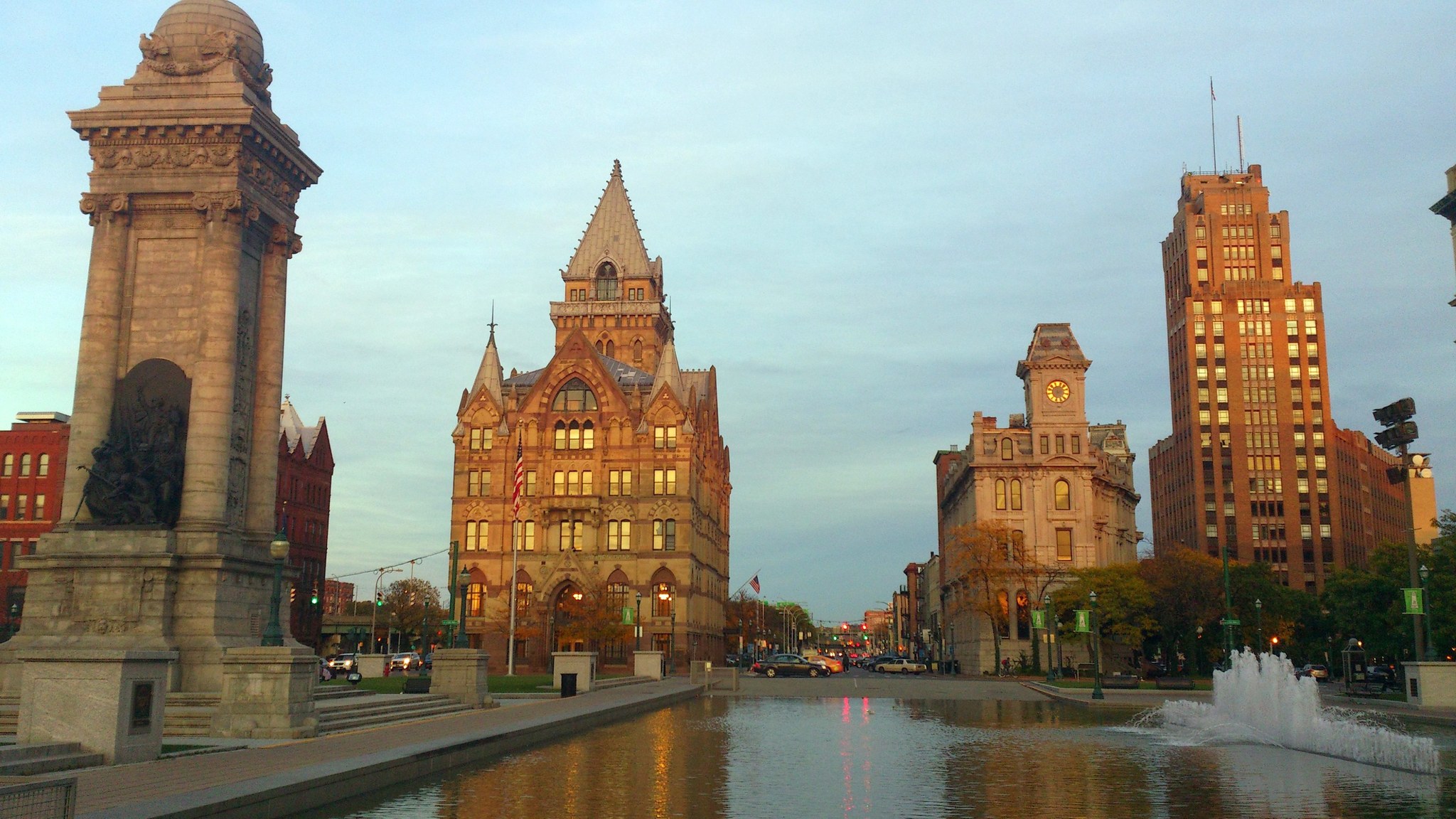
Clinton Square in downtown Syracuse, New York, in evening light.

Outdoors

Biking and mountain biking near Syracuse

Trails and recreation areas near Syracuse open to biking and mountain biking.

8places to ride
37 mito the closest
April–Novemberbest months

Good to know: Wilderness areas are closed to bikes; check each area’s trail rules and yield to hikers and horses.

Closest picks

1

Fort Stanwix National Monument

37 mi east · National Park Service

For centuries, the Oneida Carrying Place, a six-mile portage connecting the Mohawk River and Wood Creek, served as a vital link for those traveling by water from the ocean to the Great Lakes.
2

Whitney Point

39 mi south · US Army Corps of Engineers

Broome County operates Dorchester Park on Whitney Point Lake. Day use facilities include a beach, boat launch, picnic area, pavilions and open play areas.

Map of all 8 places

Map of 8 places loads as you scroll.

30 to 75 miles (5)

37 mi east · National Park Service

Fort Stanwix National Monument

For centuries, the Oneida Carrying Place, a six-mile portage connecting the Mohawk River and Wood Creek, served as a vital link for those traveling by water from the ocean to the Great Lakes.

  • Biking
  • Hiking
  • History
  • Picnicking

39 mi south · US Army Corps of Engineers

Whitney Point

Broome County operates Dorchester Park on Whitney Point Lake. Day use facilities include a beach, boat launch, picnic area, pavilions and open play areas.

  • Biking
  • Boating
  • Hiking
  • Picnicking
  • Water sports
  • Wildlife viewing
  • Winter sports

49 mi southwest · USDA Forest Service

Green Mountain & Finger Lakes National Forests

  • Biking
  • Fishing
  • Hiking
  • Horseback riding
  • Picnicking
  • Swimming
  • Wildlife viewing
  • Winter sports

75 miles and farther (3)

97 mi southwest · US Army Corps of Engineers · Campground

Lambs Creek Recreation Area

Lambs Creek Recreation Area is located at the southern end of Tioga Lake, just north of the borough of Mansfield, PA. The recreation area is easily accessible from US Route 15 and offers a great location for picnicking, hiking and biking.

  • Biking
  • Camping
  • Hiking
  • Hunting

114 mi west · Fish and Wildlife Service

Iroquois National Wildlife Refuge

Our namesake comes from the Iroquois (Haudenosaunee) Confederacy, a powerful and enduring alliance that has thrived in the northeast for centuries.

  • Biking
  • Birding
  • Boating
  • Cross Country Skiing
  • Fishing
  • Hiking
  • Hunting
  • Ice Fishing

127 mi east · National Park Service

Saratoga National Historical Park

In 1777, a large British invasion force met an equally large American army here at Saratoga. After two intense battles, an eight-mile retreat, and a three-day siege, British General John Burgoyne surrendered his entire force.

  • Biking
  • Hiking
  • History
  • Horseback riding
  • Picnicking
  • Snowpark
  • Wildlife viewing

Distances are straight-line miles from downtown Syracuse. Listings come from Recreation.gov’s federal recreation database; check each official page for hours, fees, fire restrictions and closures before you go.

Get outside around Syracuse

Around Syracuse

Syracuse University Aerial view
Syracuse University Aerial viewJohn Marino · CC BY 2.0
Hendricks Chapel, Syracuse University, 2012
Hendricks Chapel, Syracuse University, 2012Justing · CC BY-SA 3.0
Center for Science and Technology, Sims Hall, Slocum Hall as seen from the Shaw Quad (Syracuse University)
Center for Science and Technology, Sims Hall, Slocum Hall as seen from the Shaw Quad (Syracuse University)Idawriter · CC BY-SA 3.0

More outdoors near Syracuse

Questions

Where is the closest place for biking near Syracuse?

Fort Stanwix National Monument (National Park Service), about 37 miles east of Syracuse as the crow flies. Next are Whitney Point (39 mi) and Green Mountain & Finger Lakes National Forests (49 mi).

When is the best time for biking near Syracuse?

Based on Syracuse’s average highs, April–November. Conditions at higher elevations can be much cooler.

Who manages these places?

Federal agencies including USDA Forest Service, National Park Service, US Army Corps of Engineers. Each listing links to its official page for hours, fees, closures and current conditions.

Syracuse AI

Your Syracuse local guide
Hey there!

I'm Syracuse AI. Ask about local food, shopping, history or a day out.

AI recommendations may be inaccurate. Verify hours and prices. Questions are processed by Cloudflare. Privacy